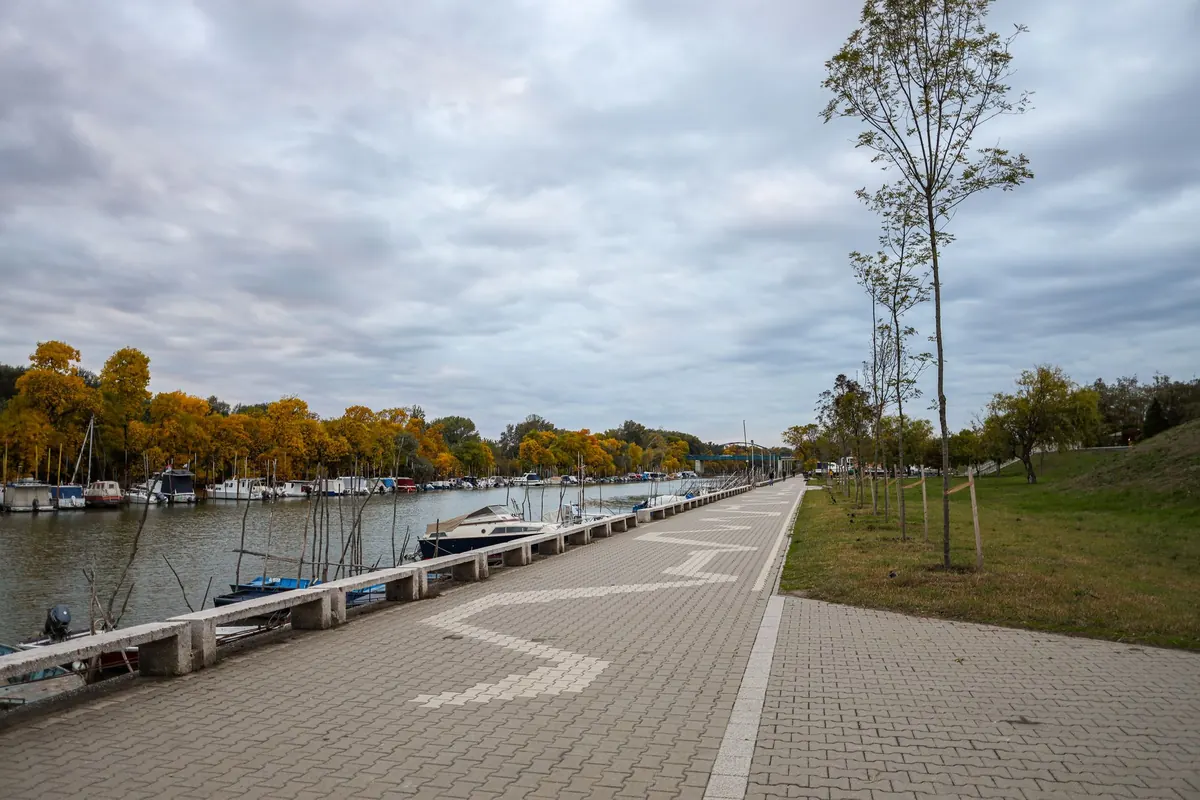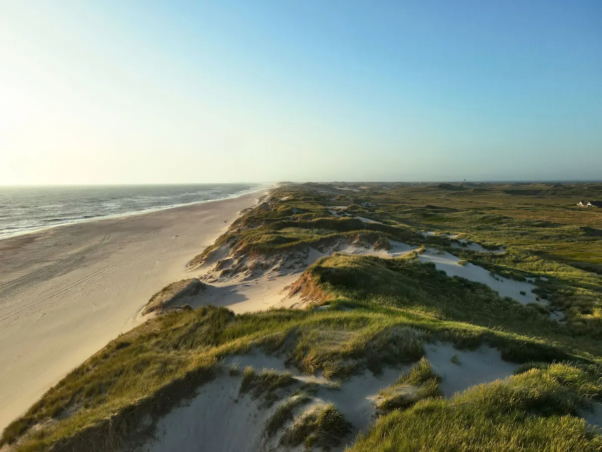
You leave the harbor in a flat calm, motor past the breakwater, and wonder whether the forecast got it wrong. By early afternoon there is a fresh chop outside, sails are full, and the wind is coming from almost the opposite direction. On many coastlines that is not a failed forecast. It is the sea breeze arriving on schedule.
Coastal breezes are local, daily, and often more useful to a boater than the broad synoptic picture. Learn their rhythm and you can choose a better anchorage, time a passage home, and stop being surprised by the afternoon shift.
The Basic Engine: Two Breezes, One Daily Cycle
Sea and land breezes are thermal circulations. The sun heats land faster than water. Air over the land warms, expands, and rises, leaving slightly lower pressure near the surface. Cooler, denser air over the sea flows shoreward to replace it. That is the sea breeze: daytime wind from sea to land.
At night the process reverses. Land cools faster than water. The sea retains its heat longer, so air over the water stays comparatively warm and rises. Cooler air from the land flows seaward. That is the land breeze: nighttime wind from land to sea.
The daytime sea breeze
The sea breeze typically begins after the land has had a few hours of sun. On a clear, quiet day it may fill late in the morning, strengthen through mid-afternoon, and fade toward evening. It usually blows onshore, but the coastline bends it. A bay can turn it, a headland can accelerate it, and a deep valley can pull it inland.
The nighttime land breeze
The land breeze is often weaker and patchier. It tends to set in late at night and early morning, blowing offshore. Near shore it can arrive as gusts down valleys or out of harbor entrances. Offshore it may be light or barely noticeable. Around sunrise, the cycle often goes slack before the next sea breeze begins.
The Rhythm You Can Watch
Think of a coastal day in four acts: a morning land breeze or calm, a midday transition, an afternoon sea breeze, then an evening fade. The exact timing changes with season, cloud cover, water temperature, and the background wind. That is why local observation matters more than a rigid timetable.
Useful signs that the sea breeze is developing include a clear morning with little gradient wind, small cumulus building over inland hills while the coast stays clearer, and a line of ripples or a darker patch of water moving from seaward toward the shore. None of these guarantees a strong breeze, but together they tell you the thermal engine is running.
- A clear morning and a weak background wind are the best setup.
- Cloud shading the land can delay or weaken the sea breeze.
- A strong wind from another direction can overwhelm the thermal cycle entirely.
- A line of ripples approaching from the sea often marks the first fill.
What It Means for a Sailing Plan
On a simple coastline, the morning land breeze can help you off the dock and the afternoon sea breeze can help you home. Do not rely on that everywhere. Deep bays, headlands, islands, and harbor entrances can change both direction and strength. Still, the principle is useful: plan the day around the shift, not just around the destination.
Morning: use the light wind, but do not trust it
The morning breeze is often light and offshore. It can be pleasant for a reach or a slow motor-sail out of a bay, but it may also be patchy near shore. If the background forecast is already calling for a steady wind from the same direction as the coming sea breeze, the afternoon may reinforce it. If the background wind opposes the sea breeze, expect a messy transition: light, shifty conditions, a pause, then a new wind from the sea.
Afternoon: expect the fill and the shift
The switch is rarely instant. You may get a calm, then dark water, then a fresh breeze from a new direction. Sails that were trimmed for the morning wind can be aback before anyone reacts. Keep the crew briefed, keep maneuvers simple, and avoid being on a lee shore or in a narrow channel when the shift is due. If you are cruising, a slightly earlier start and an earlier return often beat fighting a building afternoon chop.
Evening: the fade matters too
As the land cools, the sea breeze weakens. Near sunset the wind can become light and variable, then swing offshore as the land breeze takes over. If you are still sailing, that transition can be gentle or fickle. Have an alternative plan for getting in under power if the wind dies faster than expected.
Anchorages and the Afternoon Shift
An anchorage that is comfortable at lunch can become rolly by late afternoon, and a spot that is calm at dinner can feel different at midnight. The sea breeze decides afternoon comfort; the land breeze often shapes the night. Check both directions before you settle.
- Plot the expected sea-breeze direction on the chart. Which anchorages have open water and fetch from that direction?
- Look at the land side for the night breeze. Valleys and harbor entrances can send gusts even when the open water looks calm.
- Leave extra swinging room. A wind shift from sea breeze to land breeze can swing a boat through a wide arc.
- Watch wind against current. A modest sea breeze against a strong tidal flow can produce steep, uncomfortable chop in an inlet.
- If the afternoon breeze is forecast to be fresh, favor shelter over a pretty but exposed spot.
When the Pattern Breaks
Not every sunny day produces a sea breeze. The thermal contrast has to be strong enough, and the background wind has to be weak enough. A passing front, thick cloud, or a stiff gradient wind can shut the cycle down. In those conditions, use the forecast wind as your primary plan and treat the thermal breeze as a bonus or a local interruption.
Topography changes everything
Headlands can accelerate the wind. Bays can bend it. Straits can funnel it. Islands can create a lee on one side and a convergence zone on the other. A sea breeze that feels moderate offshore may be noticeably stronger near a headland, and a bay that looks sheltered on the chart may still get a curl of wind around its entrance.
Clouds and storms deserve a look
Sea-breeze convergence can build cumulus inland, and if thunderstorms develop, their outflow can reach the coast and produce sharp wind shifts. You do not need to be a forecaster to watch the sky. Darkening cloud, a sudden temperature drop, or a line of wind on the water is a signal to shorten sail early and give the anchorage some space.
A Simple Coastal Breeze Routine
Before you leave the dock, write down three things: the background wind forecast, the direction you expect the sea breeze to come from, and the rough time of the transition. Then compare your notes with what actually happens. Over a season, that log will teach you more about your local coast than any generic rule.
- Start with the broad wind forecast. It tells you whether the thermal breeze will reinforce or fight the day.
- At the dock, look at flags, water texture, and the sky over the land. Is the thermal engine already running?
- Choose a route that keeps you in open water during the expected shift, away from lee shores and narrow channels.
- Pick an anchorage for both the afternoon sea breeze and the night land breeze, not just for the view.
- Record the time, direction, and strength of the actual shift in your log. Local patterns repeat.
The daily breeze is a pattern, not a promise. It can arrive early, late, weak, or not at all. But on the days it does arrive, knowing why it comes and where it will push you turns a confusing afternoon into a manageable one.
Photo: Atle Winther / Pexels